EUNICE FUNDATION

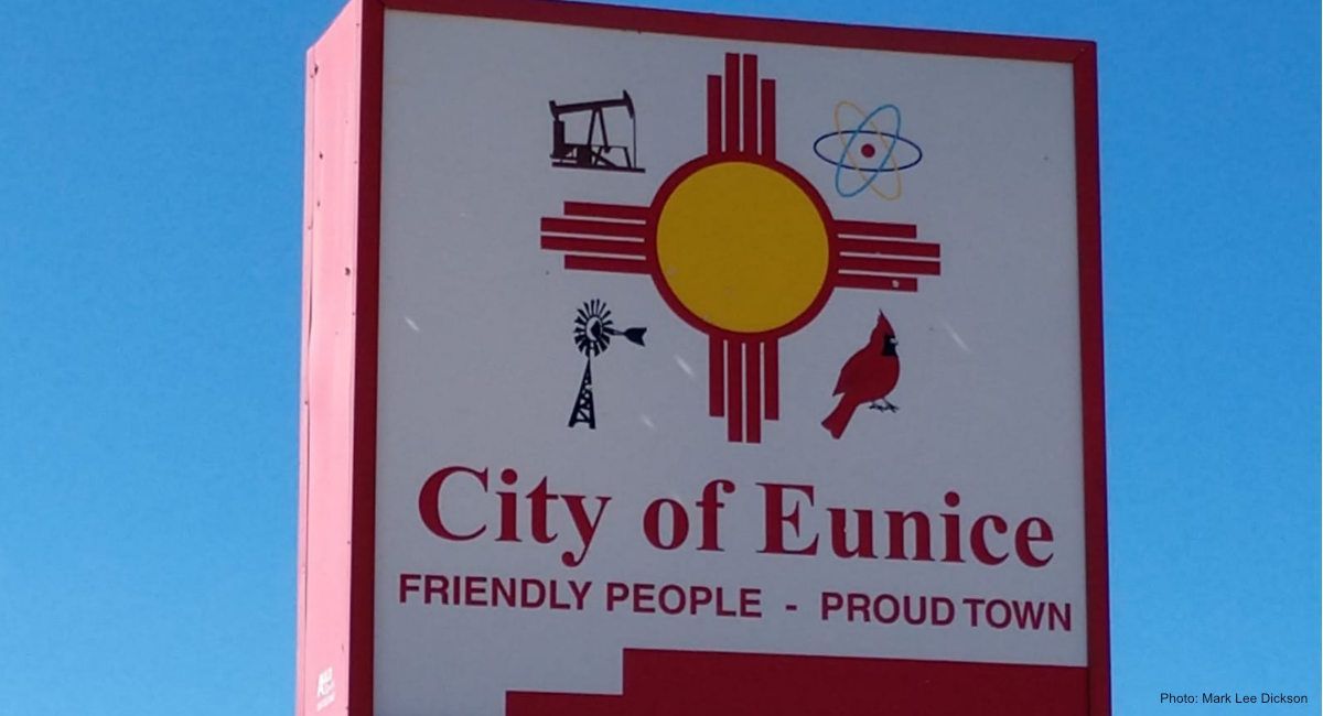

Settlement of Eunice
In the fall of 1908 J.N. Carson came to the southeastern corner of New Mexico to set up a homestead, which later was to become the town of Eunice, named for his eldest daughter. In the spring of 1909 he built a store and a postal office with other families beginning to follow.
The settlement was growing and they decided to build a one room school which had an enrollment of 23 children in the first year. The schoolhouse also served as a community center with Sunday school and church services being held there.
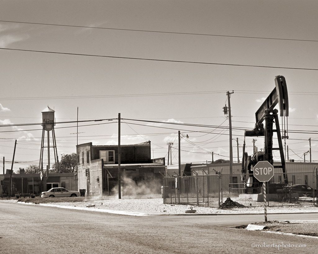
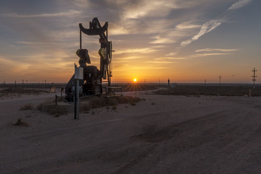
Not having paved roads did not stop settlers or the oilfield from making their way to Eunice. The first oilfield well was drilled in Lea County in 1926, though it was never a producing well. The first producing well was in 1928, and marked the Oilfield Boom which brought fluctuating flow of itinerant oilfield workers boosting the number of citizens in Eunice up to approximately 5,500 in the mid 1930s.
In 1937 Eunice's main street was a bustling mainstream of 27 cafes, 2 grocery stores, 6 bars, several pool halls, several rooming houses, a drugstore, a hotel, dry goods store, and a Baptist and Methodist Church.
CountryUnited States
Area
• Total4.10 sq mi (10.63 km2)
• Land4.09 sq mi (10.60 km2)
• Water0.01 sq mi (0.02 km2)
Elevation 3,484 ft (1,062 m)
Population (2020)
• Total3,056
• Density746.46/sq mi (288.19/km2)
Time zoneUTC-7 (Mountain (MST))
ZIP code88231
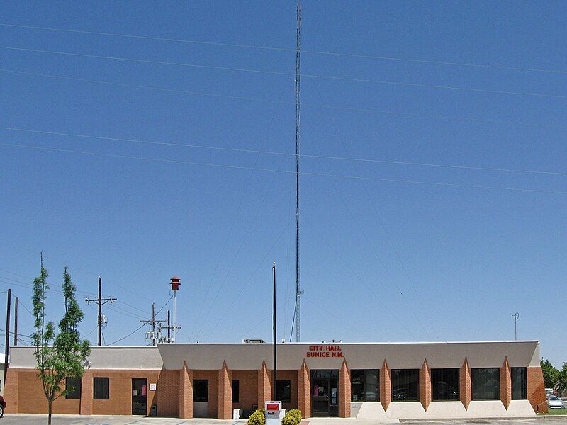
Eunice is a city in Lea County, New Mexico, United States. The population was 2,922 at the 2010 census
Eunice is located in southeastern Lea County. It is bypassed to the east by New Mexico State Road 18, which leads north 19 miles (31 km) to Hobbs, the largest city in the county, and south 23 miles (37 km) to Jal. State Road 176 runs east-west through the center of Eunice. Carlsbad is 68 miles (109 km) to the west, and the Texas border is 5.5 miles (8.9 km) to the east. Andrews, Texas, is 37 miles (60 km) east of Eunice via NM-176 and Texas State Highway 176.
As of the census of 2000, there were 2,562 people, 942 households, and 709 families residing in the city. The population density was 877.5 inhabitants per square mile (338.8/km2). There were 1,110 housing units at an average density of 380.2 per square mile (146.8/km2). The racial makeup of the city was 71.00% White, 1.09% African American, 0.43% Native American, 0.12% Asian, 24.43% from other races, and 2.93% from two or more races. Hispanic or Latino of any race were 39.62% of the population.
There were 942 households, out of which 38.3% had children under the age of 18 living with them, 60.0% were married couples living together, 9.0% had a female householder with no husband present, and 24.7% were non-families. 22.9% of all households were made up of individuals, and 11.4% had someone living alone who was 65 years of age or older. The average household size was 2.72 and the average family size was 3.20.
In the city, the population was spread out, with 29.5% under the age of 18, 11.1% from 18 to 24, 27.2% from 25 to 44, 19.4% from 45 to 64, and 12.8% who were 65 years of age or older. The median age was 34 years. For every 100 females, there were 100.2 males. For every 100 females age 18 and over, there were 101.0 males.
The median income for a household in the city was $31,722, and the median income for a family was $38,808. Males had a median income of $30,216 versus $21,400 for females. The per capita income for the city was $14,373. About 14.2% of families and 15.6% of the population were below the poverty line, including 18.4% of those under age 18 and 10.1% of those age 65 or over.

Slide title
Write your caption hereButton
Slide title
Write your caption hereButton
Slide title
Write your caption hereButton
Slide title
Write your caption hereButton
Slide title
Write your caption hereButton
CONTACT US
Lea County, New Mexico
Phone:
(575) 318-4863
Email: quepasaleacounty@google.com


Powered by "QuepasaLeaCounty.com"
Privacy Policy | Terms of Service
